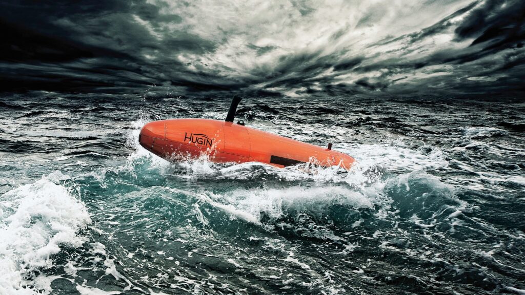
Deep-sea vehicle Hugin Superior. Image source: Interesting Engineering
Norway has launched a large-scale exploration of northern seas using a new autonomous underwater vehicle, the Hugin Superior. The drone is capable of diving to depths of up to 6,000 meters, collecting highly precise data on seabed topography and chemical deposits. This is the first time the country has used its own vehicle of this class to unlock the secrets of deep-sea ecosystems without involving private corporations.
How Scientists Study the Seabed
Historically, exploration of the seabed in Norwegian waters began as far back as the 19th century. In those days, sailors and scientists used the most primitive methods: they simply lowered ropes with heavy weights on the end into the water to measure depth and feel out the basic features of the underwater terrain.
Today, the situation has changed dramatically. Researchers use multibeam echo sounders installed directly on the hulls of research vessels. However, such systems scan the seabed from the surface, which means small geological details are lost in the water column.
To get a truly clear picture, it is necessary to lower the measuring equipment as close to the ocean floor as possible. This is exactly why the Norwegian Offshore Directorate (NOD) acquired its own autonomous deep-diving vehicle. Previously, the state had to rely on costly services from third-party companies, but the purchase funded last year has made Norwegian marine science independent.
How the Deep-Sea Exploration Vehicle Works
The Hugin Superior is considered one of the most advanced underwater robots in the world today. According to Interesting Engineering, its main feature is its ability to operate fully autonomously at enormous depths while the surface support vessel carries out other scientific or technical tasks. The robot can remain underwater for extended periods and requires minimal maintenance time before its next mission.
For safe navigation in the complete darkness of ocean depths, the drone uses a principle similar to that of a bat. It continuously emits sound waves and captures their reflections using ultra-high-resolution sonars, building a picture of its surroundings.
In addition to advanced acoustic systems, the drone carries an impressive array of research sensors:
- highly sensitive cameras for visual macro photography of objects on the seabed;
- laser profilographs that create precise three-dimensional terrain models;
- chemical analyzers capable of instantly detecting methane, carbon dioxide, and oxygen in the water.
The intelligent MicroNavigation system provides incredible route-tracking accuracy. The positioning error is less than 0.04% of the distance traveled. This allows the underwater vehicle to navigate complex terrain flawlessly and even automatically track laid submarine pipelines.
Why Scientists Study the Ocean Floor
By descending to the very bottom, the Hugin Superior obtains data of an entirely different quality level, inaccessible to surface vessels. In a single hour of operation, the robot can survey 4.5 square kilometers of ocean floor in detail. In addition to regular images, it creates highly detailed bathymetric maps — precise topographic plans of the underwater landscape.
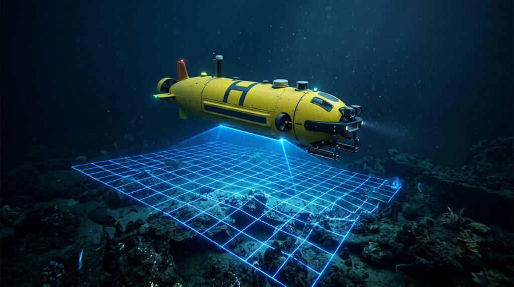
The vehicle scans seabed terrain using built-in laser and acoustic systems
The vehicle has already undergone the traditional maritime christening ceremony and in early June set off on its first expedition to the northern part of the Norwegian Sea. The terabytes of information it collects are needed not only to satisfy scientific curiosity and expand the knowledge base.
As project leaders note, a detailed understanding of how deep-sea areas are structured will enable the state to make informed and safe decisions regarding the management of ocean resources. Knowing the exact location of hidden features on the seabed, as well as natural greenhouse gas seeps, is crucial for responsible stewardship of fragile marine ecosystems.
Norway’s acquisition of its own high-tech drone opens a new chapter in ocean exploration. The data that the Hugin Superior is now collecting will lay a solid foundation for future discoveries. Diving to depths of up to six kilometers, this robot makes visible what has been hidden in darkness for centuries and helps humanity better understand the structure of our planet.