Over the past few weeks, we’ve reviewed several fuel-finding services in Russia. However, none of them can be called the ultimate solution, as the information they contain is far from covering all gas stations in the country. But now the 2GIS navigator has launched a fuel map. It shows which gas stations have fuel and in what quantities. The feature is especially useful for those who in recent weeks have been dealing with empty pumps and long lines at gas stations. Data is collected automatically and supplemented by reports from drivers themselves, so before a trip you can figure out where to actually go for fuel.
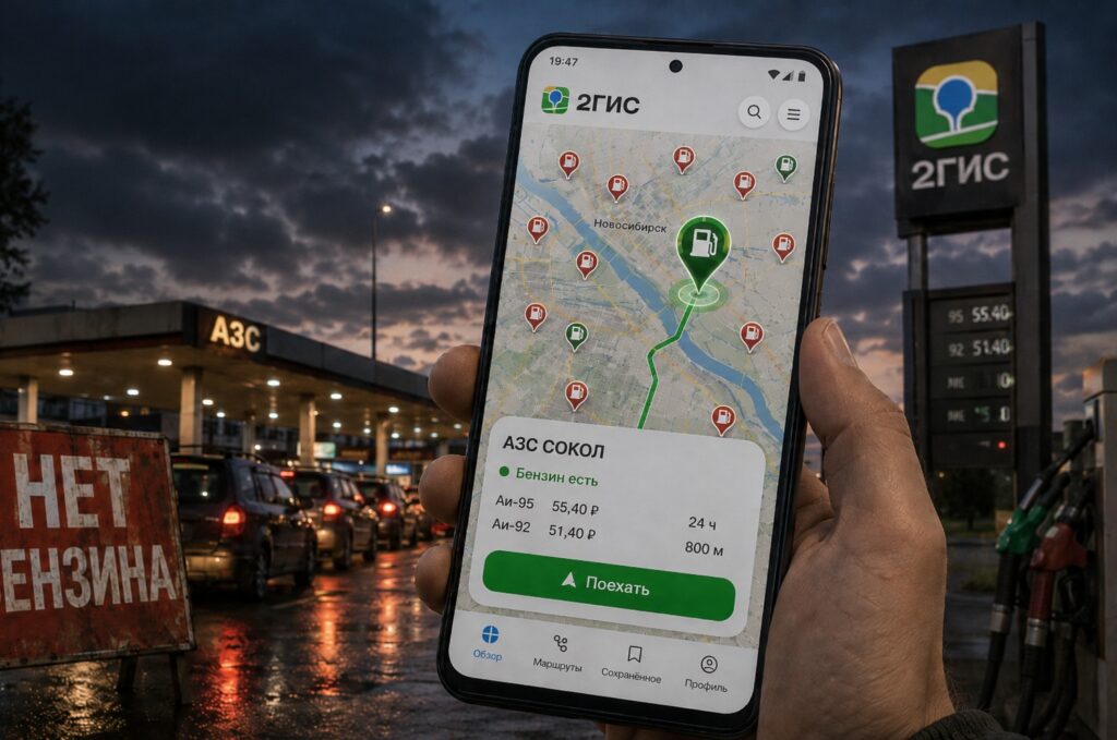
Now you can search for fuel right in 2GIS
What the 2GIS Fuel Map Shows
According to the developers, the map displays nearly 29,000 gas stations — that’s practically every station in the country. You can open it right from the navigator’s home screen or through the web version of the service on their website. It shows not only the stations themselves but also additional details useful on the road.
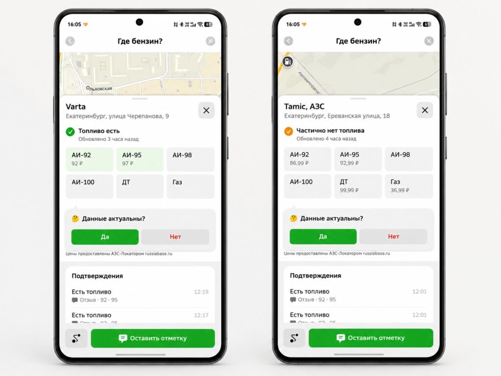
The 2GIS fuel map shows fuel availability
In the station card, you can check what fuel is available, its price, as well as restrictions and congestion. According to the company, the service shows whether you can fill a jerry can and whether there’s a line at the station. These are exactly the things you usually find out only when you arrive — and now you can see them in advance.
Fuel Today — Where Does 2GIS Get Its Data
It’s important to understand the source here, because it determines how much you can trust the information. The service shows where fuel was recently purchased, rather than what the gas station reports about itself. It’s based on anonymized transaction data from Sber — a partner of the service.
The second source is reports from users themselves. Drivers share what type of fuel is available at a station, its price, limits, and queue size. This approach provides a more dynamic picture than official data from gas stations, but reliability here directly depends on how often people update the information.
How to Use the 2GIS Fuel Map
The process is simple and works both in the app and on the website. Here’s what you need to do:
- Open the fuel map from the 2GIS app’s home screen or on the website.
- Use the filter to select gas stations with the fuel type you need and an acceptable queue size.
- Open the station card to check the availability of the specific grade, dispensing limits, and congestion.
- Build a route directly from the gas station card.
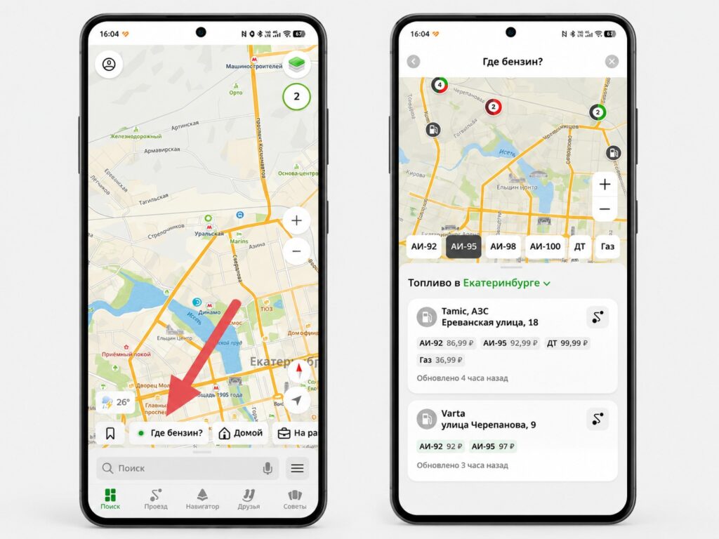
The fuel map is accessible from the app’s home screen
You won’t need to install anything extra if you already have 2GIS — the map is available in the current version of the app.
Who Will Actually Benefit from the Fuel Map
First and foremost, the feature is useful for those who are planning long trips and don’t want to end up at a closed or empty pump in an unfamiliar place. It will also come in handy during fuel shortage periods when the availability of a specific grade at a specific station becomes unpredictable.
The main value is the ability to choose a gas station with the right fuel type and without a long line in advance, and then immediately build a route to it in the same app. No need to drive around stations blindly or call them by phone.
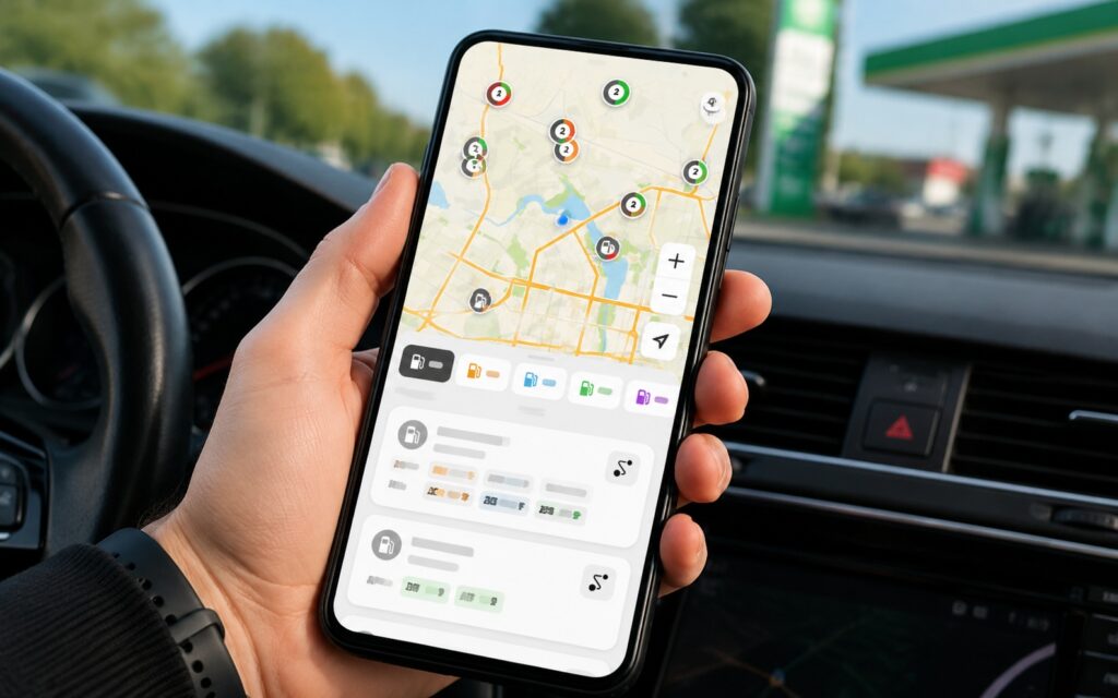
Right now the fuel map will definitely be useful
The developers promise that the service will evolve: they plan to connect new data sources and refine station statuses. This means that some data may currently be inaccurate or delayed, especially in areas with few transactions and few active users.